The basin, the hills, the sea
Athens, Read as a Landscape
Athens is set in a basin ringed by mountains and open to the Saronic Gulf, and once you learn to read that geography the city stops feeling like one long stretch of concrete. The hills, the parks, the forests on the rim, and the coastline are the other half of the place.
A city in a bowl, between mountains and sea
Athens sits in the Attic basin, a wide bowl that the ancients and everyone since have built into the same fixed frame. Mountains close it on three sides: Parnitha to the north and northwest, Penteli to the northeast, Hymettus along the east, and Aigaleo to the west. To the south the basin simply opens, dropping toward the Saronic Gulf and the sea. That ring of rock and water is why the city's edges have stayed legible across four thousand years even as the center filled in.
The climate that comes with the basin is thoroughly Mediterranean: hot, dry summers, mild winters, and a quantity of sunlight that shapes how the city is used. Shade, sea breeze, and altitude are not luxuries here but tools, and locals plan around them. The same logic that sent ancient Athenians to the springs and groves sends modern ones to the hills at dusk and the coast on a July afternoon.
Understanding the bowl also explains the haze and the heat that can settle over the center in high summer, and why Athenians treat a tree-lined square or a breezy ridge as genuine relief. The landscape is not scenery wrapped around the city. It is the climate-control system the city has always relied on.
The hills are the city's balconies
Inside the urban fabric, a handful of hills work as natural viewing balconies over the rooftops. Lycabettus is the tallest point in central Athens, a pine-covered cone you can climb or ride up for a full panorama of the basin spreading out to the sea. It is the easiest way to grasp the whole geography in a single look, especially near sunset when the Saronic turns gold.
South and west of the Acropolis, the linked hills of Filopappou, the Pnyx, and the Areopagus carry both pine shade and deep political memory. The Pnyx was where the Assembly of the democracy met in the open air, and the Areopagus was an ancient council seat, so a stroll here is at once a green walk and a route through the founding spaces of public speech. From these slopes the Acropolis stands at eye level rather than overhead.
These hills are free, unticketed, and woven into daily life rather than fenced off as monuments. That is the point: in Athens the high ground is shared civic space, a place to catch a breeze, watch the light, and read the city as a single landscape from above.
Green inside the grid
For all its density, the center keeps real pockets of green. The National Garden, laid out in the nineteenth century beside Parliament and the Zappeion, began as the royal garden of Queen Amalia and has been public space since the 1920s; today it is a shaded, ponded refuge a minute from Syntagma's traffic. It is the clearest example of how the modern capital deliberately stitched parkland into its plan.
Beyond it, larger and smaller green spaces give each district its own outdoor room: the Pedion tou Areos park, the groves of Pangrati and Strefi hill, and Ardittos rising beside the Panathenaic Stadium. None of them is wilderness, but together they form a network of shade, benches, and slow time that Athenians use constantly.
Reading the city this way reframes a visit. The decision is not only which monument to see but which green seam to walk between them, turning a hot afternoon of sightseeing into something the landscape actually supports.
The mountains on the rim
The ring of mountains is not just a backdrop; it is hikeable, forested, and close. Parnitha, the highest and largest of Attica's peaks, is a national park of fir and pine with marked trails, gorges, caves, and cooler air, a genuine forest escape barely north of the city. After fires and recovery it remains the green lung of the basin and the obvious choice when you want altitude and quiet.
Hymettus, hugging the eastern edge, is the everyday peri-urban mountain, threaded with trails and dotted with old monasteries, easy to reach for a morning walk with the whole city laid out below. Penteli, to the northeast, is the quarry mountain whose famous white marble built the Parthenon, so even here the landscape and the monuments are the same material.
For a traveler this means Athens does not have to be experienced only at street level. A half-day on Parnitha or Hymettus, or a longer trip out toward the coast, turns the surrounding geography from a view into an itinerary.
The coast and the end of the land at Sounion
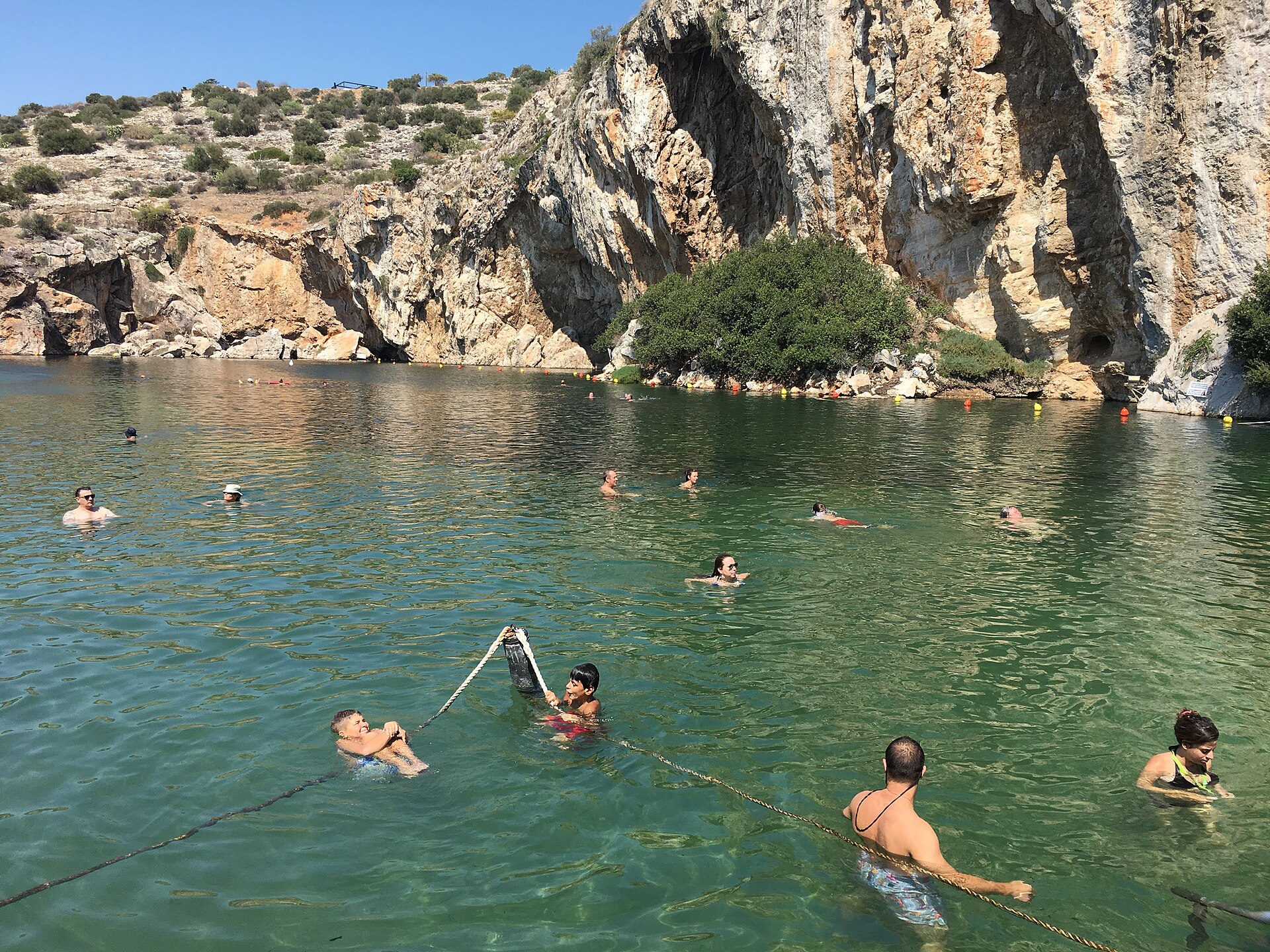
South of the basin the city meets the Saronic Gulf along the Athens Riviera, a chain of seafronts running from Faliro through Glyfada, Voula, Vouliagmeni, and Varkiza. This is where Athenians swim, walk, and cool off in summer: organized beaches, a coastal promenade for walking and cycling, and the still, spring-fed water of Lake Vouliagmeni tucked beneath limestone cliffs.
Follow the coast road to its end and you reach Cape Sounion, where the fifth-century BC Temple of Poseidon stands on the headland above the Aegean. It is one of the great closing images of Attica: the land running out, the sea opening, and a Doric temple catching the last light. Sailors once steered by this promontory, and it still marks the edge of the Athenian world.
Just to the west, Piraeus anchors the other maritime face of the city, the great port that connects Athens to the Aegean and the islands. Between the Riviera, Sounion, and the harbor, the sea is not a day trip from Athens so much as the southern boundary of what Athens has always been.
How to walk the landscape
The single best way to feel the city as a landscape is the pedestrianized walk that unifies the ancient sites, the route running along Dionysiou Areopagitou and Apostolou Pavlou that loops the Acropolis and connects it to Filopappou and the Pnyx. It links monuments and hills into one continuous green promenade, no ticket required for the streets themselves.
From there the moves are simple and seasonal: the National Garden for shade in the heat, Lycabettus for the sunset panorama, Parnitha or Hymettus for a hiking half-day, and the Riviera for swimming and a coastal walk or ride. Each draws on a different part of the geography, and together they give a fuller Athens than monuments alone.
Treated this way, the landscape becomes the connective tissue of a visit rather than the gap between sights. The hills, parks, forests, and coast are not detours from the real Athens. They are the frame that has held the real Athens in place all along.
Reviewed source trail
- This Is Athens — official city of Athens visitor guide (hills, parks, coast) - checked 2026-06-10
- This Is Athens — National Garden - checked 2026-06-10
- Visit Greece (Greek National Tourism Organisation) — Parnitha National Park - checked 2026-06-10
- Hellenic Ministry of Culture (Odysseus) — Sanctuary of Poseidon at Sounion - checked 2026-06-10
- NECCA — Management Unit of Parnitha & Schinias National Parks (official park authority) - checked 2026-06-10
Last reviewed June 10, 2026